Vertical planning is considered one of the main elements of the engineering preparation of the territories of settlements. It is a key element in changing natural terrain to improve housing or create a landscaping project.
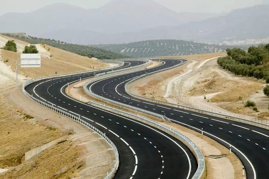
Purpose of the element
The layout consists of several parts, each of which is responsible for a specific task. The main purpose of vertical planning is to create slopes on the surface that will be used to divert rainwater into special drains or natural reservoirs. The peculiarity lies in the method of removing moisture on the surface, so the relief and type of soil is also important.
Key goals
These include creating favorable conditions for pedestrians and traffic, preparing the territory for possible development and expanding the infrastructure of the site. In a decorative plan, the vertical layout should consist of solving compositional and landscape elements and creating a style for the selected place.
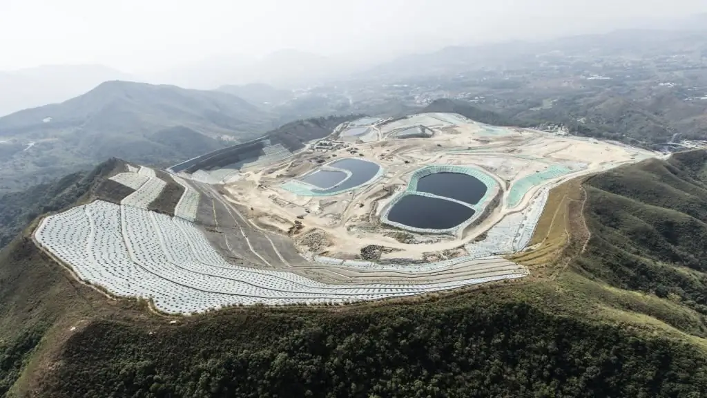
With the rightThe formulation of objectives achieves the minimum use of transport services for the movement of land and the maximum savings in terms of expenditure of resources. In other words, the negative, destructive impact on the environment in the process of work should be minimal. Vertical planning solves these problems in a complex way.
Important moments in projects
When creating the first sketches, designers should strive for the most natural topography without harming nature and changing the vegetation of the soil. It is impossible to plan changes in large parameters of the green zone. Most often, the vertical planning of the territory affects those areas near which there are various transport connections, access to the city or structures with engineering networks.
Planning is carried out in areas with a building density of more than 25%. When performing work, the upper fertile layer of the earth must be removed and stored in a separate place, so that later the soil can be used for landscaping the territory. This moment is also provided for in the project.
If the site was previously flooded by flood waters or soil is required for other reasons, this should be indicated in the document so that the level of subsidence of the upper layer can be foreseen and a reliable foundation for buildings can be created. Before developing the vertical planning of the territory, it is necessary to study in detail the features of the relief and its composition, only then draw up a plan for changing the site.
Relief study
Mistakes in the research process or incorrect conclusions in the project can lead todifficulties at work. For example, there will be a need for additional building materials, problems with the placement of buildings or roads.
The relief of the area determines not only the appearance of the city, but also predicts the conditions for its future development. A vertical layout project should begin with a definition of the terrain type.
The flat land is a spacious land without hills and slopes. St. Petersburg can serve as a vivid example of this. Small hills, pits and irregularities may be present in the average relief. This adds uniqueness to the place and allows you to design different elements of infrastructure.
In difficult terrain there are both steep slopes and hills. Designing sites is quite difficult, because it is necessary to provide for natural factors and possible floods. For example, a vertical layout on this type can be attributed to Kyiv.
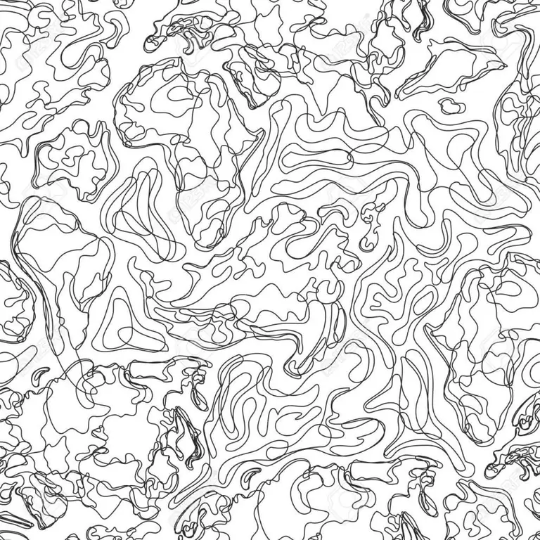
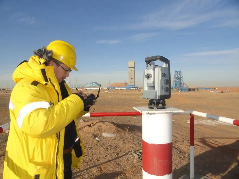
To determine, a geodetic camera is used and the creation of a project in contour lines, where lines are marked that are at an equal distance from each other. Each line corresponds to a plane on the relief. Lines of different heights do not intersect in the plan.
Drafting
Marks that are counted from the level of the B altic Sea (absolute zero) are inscribed above the contour lines. They are called high. If there is no preliminary data, then the marks made will be called relative.
Designers call the distance between two horizontals a step, and the distance between them in the plan is a laying. With verticalsite planning, these data are of great value, because they allow you to draw up an accurate project with subsequent computer visualization of all elements.
If the angle of incidence of the relief is the same, then the distances between the contour lines will be equal. If there is a slope, then the distances increase, thereby showing the real parameters of the roughness in the area. Calculations help predict the location of objects.
As for the detail of the image of the relief, it depends on the stages of the project. The closer to the building, the more accurately it should be drawn up. The terrain conditions depend on the presence of slopes and their direction, which are necessarily prescribed in the vertical layout of the site.
Process steps
Three key methods are distinguished when developing a layout.
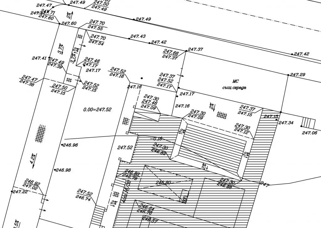
The primary method of planning cannot be the key to creating a project. Using the so-called red marks, certain distances between contour lines are applied on the master plan with a geodetic base. Most often, marks of this type indicate irregularities or the location of future objects.
The method of longitudinal and transverse profiles is more detailed, since intersections of streets and roads, as well as slopes and irregularities, are indicated here. The difference between the design and existing marks is usually called the working one. This type of layout is used to build new roads or correct existing transport routes.
Its effectiveness lies in the ability to reflect a large area, given theThis is all the bumps and slopes that create additional obstacles on the way. One of the effective methods of vertical planning is the method of red horizontal lines. It clearly demonstrates, based on the geodetic type, the changes that will be made according to the requirements of the layout. New contours are drawn in red for highlighting.
Planning of settlements
The scheme determines not only the general changes in the relief, but also the presence of drains and sewers. In the case of adding plots for residential buildings, it is also necessary to register a network of drainage collectors, which should be routed along low places according to the occupied territory.
Depending on the type of relief, the areas selected for design are given a single-slope, dual-slope or four-slope surface. This is done to determine the rate of surface water runoff and dry the site.
A good example of vertical planning would be the harmonious number of mounds and pits that will appear in the process. Zero-balance excavation is important to create natural runoff.

Addings or cuts are marked in the project with working marks and can be adjusted if necessary. The presence of arrows along the axes of streets and roads may indicate the placement of longitudinal slopes. Sometimes they are also indicated by numbers that correspond to the approximate length of the bump.
Special conditions
In the case of complex terrain, fundamental changes will not always be truedecision. Here, the location of future objects is adjusted, taking into account the choice of a suitable site. Designers mark the peaks of irregularities for this, so that the drains do not increase the level of humidity, there is no stagnation of water due to an obstacle in the form of a building.
Placing buildings on steep slopes requires additional terracing to stop soil erosion or natural rock sinking. If we are talking about single-section houses, then they can be placed without it. To protect against the negative influence of natural factors, it is recommended to use additional supporting walls or slope methods.
Preparation Tasks
Vertical planning and engineering preparation of the territory pose a number of tasks. Firstly, it is the drainage of swampy areas and protection from flooding by drawing up a plan for the placement of natural drainage systems.
Secondly, the preparation of the territory for the construction of small architectural forms, roads and highways, the maximum strengthening of the banks and slopes of the rivers, if they are located in the area of project work. Technical and biological reclamation helps to see the final stage of preparing the territory for construction work.
Elimination of mudflows, karst and landslides is considered a pre-finish stage. Completing tasks well will help create an ideal area for a building or transportation project.


